Rhine River
Historical maps from Worldinmaps.com, now part of TerraScientifica.
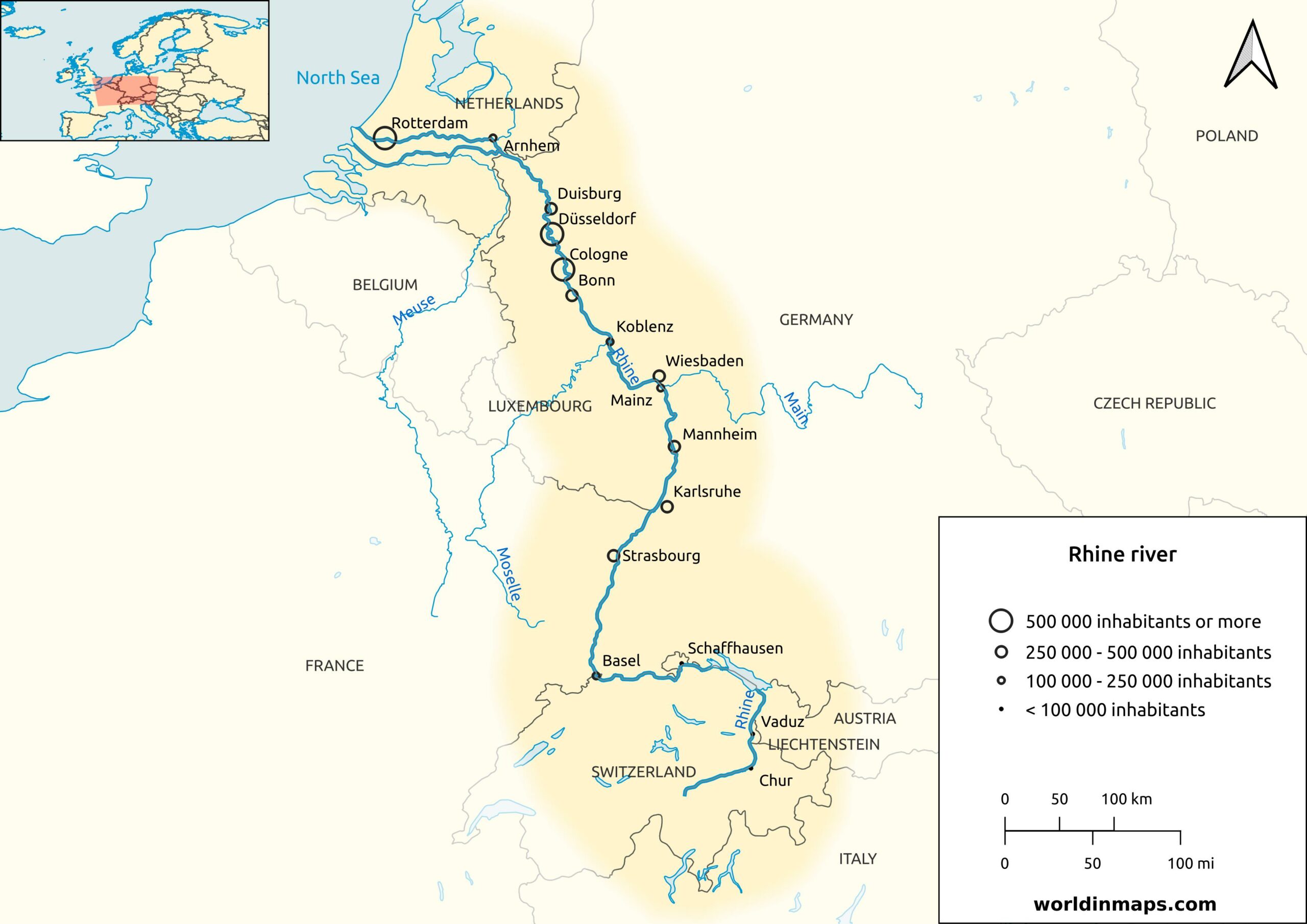
Key facts
| Countries | Switzerland, Liechtenstein, Austria, Germany, France and Netherlands |
| Major cities | Basel, Strasbourg, Bonn, Cologne, Düsseldorf, Duisburg and Rotterdam |
| Main source | Rein Anteriur / Vorderrhein |
| Location | Tomasee (Switzerland) |
| Elevation | 2 345 m (7 694 ft) |
| Secondary source | Rein Posteriur / Hinterrhein |
| Location | Paradies Glacier (Switzerland) |
| Elevation | 2 400 m (7 900 ft) |
| Confluence of the sources | |
| Location | Tamins (Switzerland) |
| Elevation | 585 m (1 919 ft) |
| Mouth | North Sea |
| Location | Meuse and Rhine delta (Netherlands) |
| Elevation | 0 m (0 ft) |
| Length | 1 230 km (760 mi) |
| Basin size | 185 000 km² (71 000 sq mi) |
| Discharge | |
| Average | 2 900 m³/s (100 000 cu ft/s) |
| Minimum | 800 m³/s (28 000 cu ft/s) |
| Maximum | 13 000 m³/s (460 000 cu ft/s) |