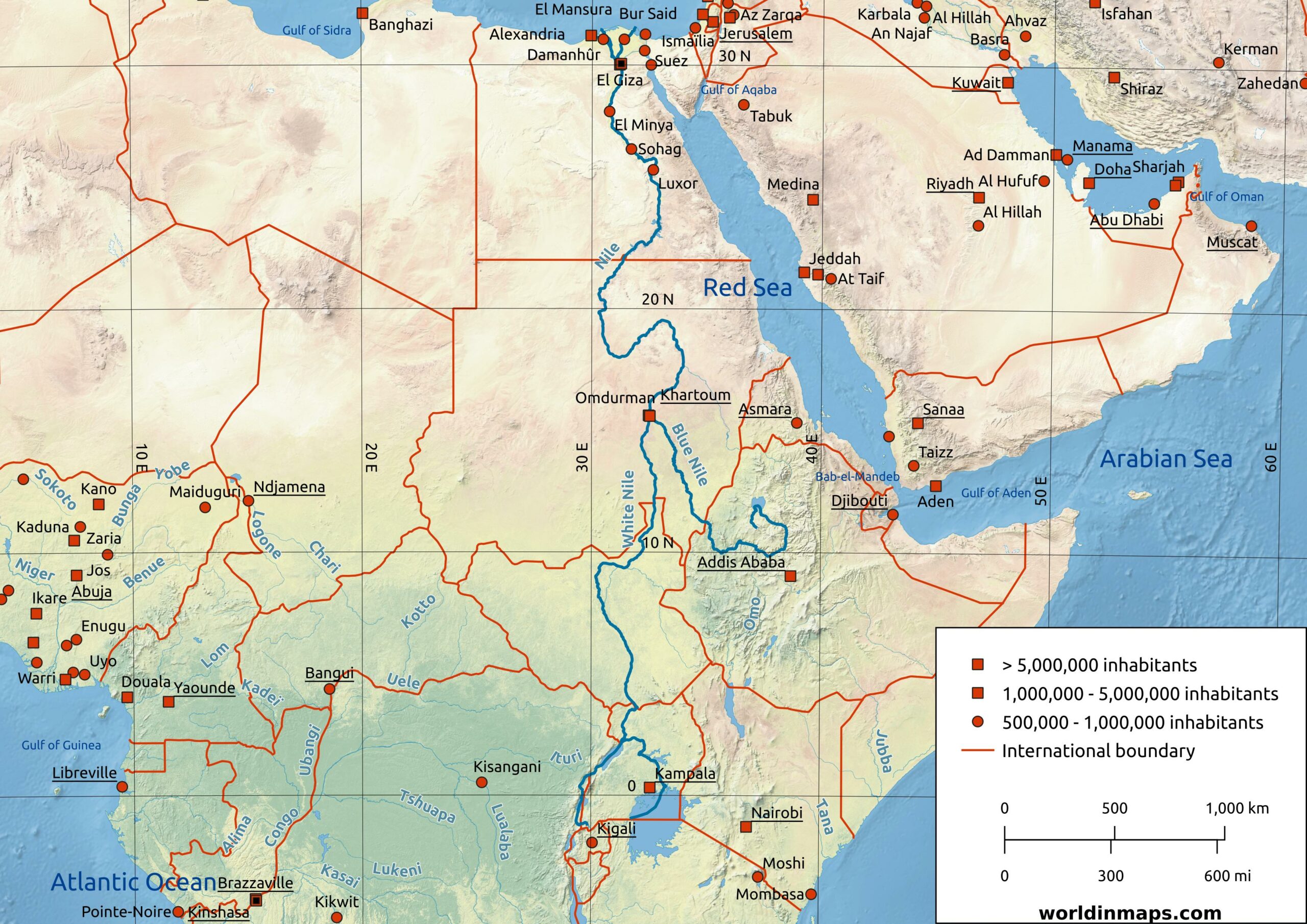
Nile River
Historical maps from Worldinmaps.com, now part of TerraScientifica.
The Nile is a north-flowing river in northeastern Africa and it is the longest river in the world. The drainage basin covers eleven countries (Tanzania, Uganda, Rwanda, Burundi, the Democratic Republic of the Congo, Kenya, Ethiopia, Eritrea, South Sudan, the Republic of Sudan and Egypt).
The Nile has two major tributaries: the White Nile and the Blue Nile. These two rivers meet just north of the Sudanese capital Khartoum.
The White Nile is considered to be the headwaters and primary stream of the Nile. The White Nile finds its source in the Great Lakes region of central Africa, with the most distant source still undetermined but located in either Rwanda or Burundi.
The Blue Nile has its source at the Lake Tana in Ethiopia.
The Nile ends in a large delta and flows into the Mediterranean Sea.
Key Facts
| Location | |
| Countries | Egypt, Sudan, South Sudan, Ethiopia, Uganda, Congo, Kenya, Tanzania, Rwanda, Burundi |
| Cities | Jinja, Juba, Khartoum, Cairo |
| Physical characteristics | |
| Sources | |
| White Nile | |
| Location | Burundi or Rwanda |
| Elevation | 2,400 m (7,900 ft) |
| Blue Nile | |
| Location | Lake Tana (Ethiopia) |
| Elevation | NA |
| Mouth | |
| Location | Mediterranean Sea Nile Delta (Egypt) |
| Elevation | Sea level |
| Length | 6,650 km (4,130 mi) |
| Width (maximum) | 2.8 km (1.7 mi) |
| Depth (average) | 8 – 11 m (26 – 36 ft) |
| Basin size | 3,400,000 km² (1,300,000 sq mi) |
| Discharge | |
| Location | Aswan |
| Average | 2,830 m³/s (100,000 cu ft/s) |
| Location | Cairo |
| Average | 1,400 m3/s (49,000 cu ft/s) |